Brno has a complete 3D map of its territory
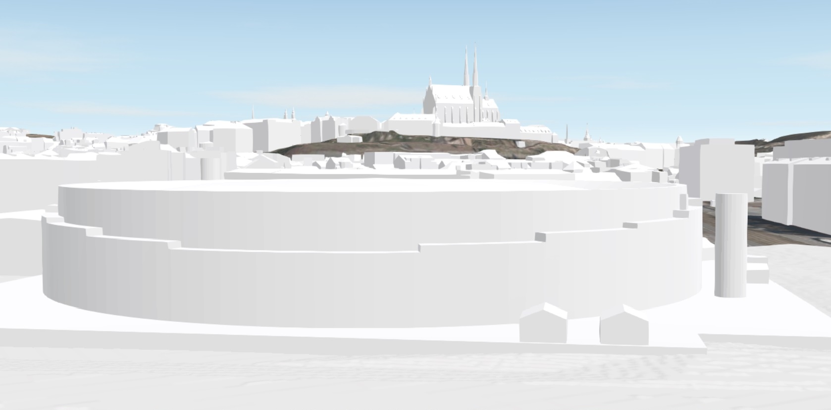 |
From now on, the city of Brno has a complete 3D map of its territory. As part of the final fourth phase of the project, experts modeled the peripheral areas of the metropolis, thus completing a five-year project. The resulting three-dimensional world, offering high accuracy of twenty centimeters in representation, will facilitate work for architects, designers, investors, and city representatives. They are already actively using publicly available data from previous phases in their projects.
The creation of the 3D model of the city of Brno began in 2020. The project was divided into four phases, progressing from the center to the peripheral areas of the South Moravian metropolis. At this point, all the necessary data from the final phase has been collected, and representatives of both the expert and lay public will soon have access to the complete three-dimensional map.
The created parts of the model were continuously published by the Office of the Architect of the City of Brno. The map data has already found full application, for example, in modeling the structure of the modern district of Trnitá, the new train station, Brněnská Street, and many other projects.
The English translation is powered by AI tool. Switch to Czech to view the original text source.
0 comments
add comment