
The Moravian Cartographic Center has launched its first season
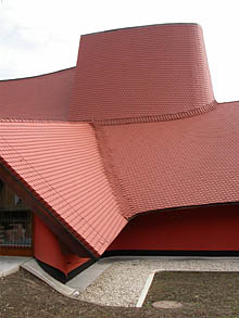 |
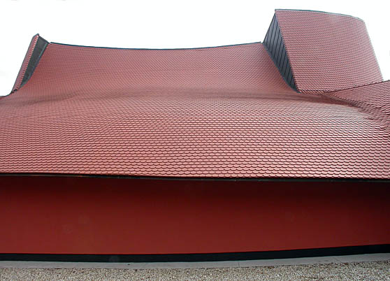
The map is displayed in the annex of the Opatovice Castle. The city had it completed last year for about 40 million crowns and placed a cartographic unique piece in it, made in a scale of 1:25,000. It consists of 79 parts spread over 150 square meters. The map shows what Moravia and Silesia looked like approximately one hundred years ago.
The center was opened last October. During the trial operation, which lasted until December, it received about 2,000 visitors. In addition to the map, other cartographic items are also exhibited: besides maps, there are giant cameras and instruments.
The city's goal was not only to create a tourist attraction but also to establish a center for meetings of experts in this field in cooperation with the Czech Cartographic Society.
"We would like to create a hall and accommodation facilities for them in the castle, so they can hold congresses and seminars here," Bělehrádek stated. According to him, a project for this intention should be developed next year, but the necessary costs have not yet been calculated.
The three-dimensional map was likely created for military purposes. It had been decaying in storage for decades. It belongs to the Moravian Provincial Archive, which did not have a place to display it. After lengthy negotiations with various institutions, it was only in Velké Opatovice that space was offered.
 |
The English translation is powered by AI tool. Switch to Czech to view the original text source.
0 comments
add comment